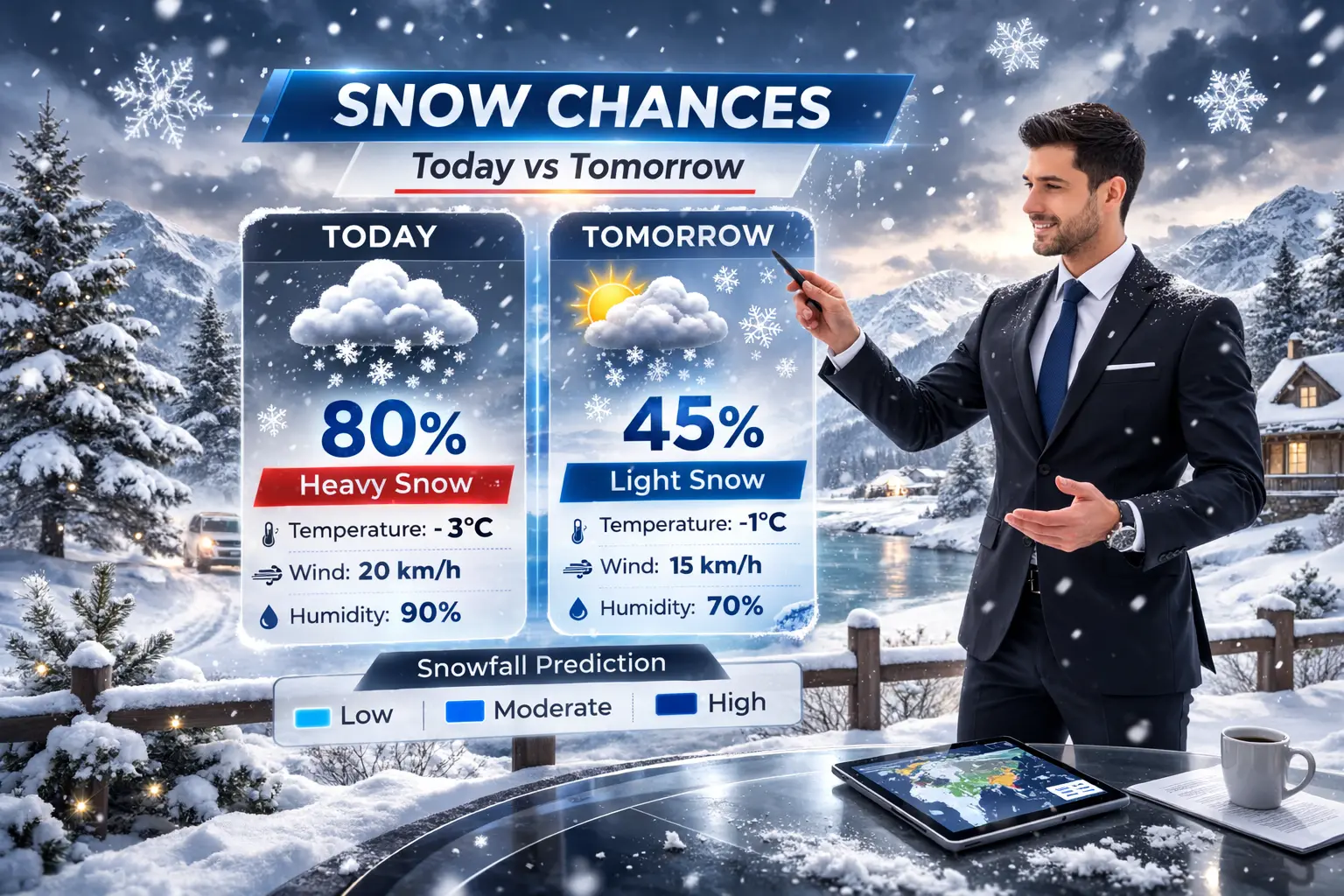
Snow Day Forecast for Today and Tomorrow: How Closure Probability Is Calculated
Checking whether school will close today or tomorrow involves more than glancing outside. Overnight snowfall, road conditions, wind, and storm timing all factor into a school board’s final decision.
This guide explains what drives today’s closure probability, why tomorrow’s forecast can shift overnight, and how to read a weekly outlook without over-relying on long-range predictions. Check your live forecast on the homepage →

Icy road conditions after overnight snowfall are the leading trigger for school bus cancellations.
School boards generally finalize closure decisions based on conditions observed between 11 PM and 5 AM. Three factors carry the most weight.
Overnight Snow Accumulation
| Overnight Snowfall | Closure Risk |
|---|---|
| 5–10 cm | Moderate |
| 10–15 cm | High |
| 15+ cm with wind | Very High |
Road and Bus Conditions
Even modest snowfall can trigger closures when freezing rain is present, wind chill makes bus stops unsafe, or rural routes become impassable. Road condition reports often outweigh raw snowfall totals.
School Board Policy Factors
Boards weigh bus safety on icy roads, the gap between rural and urban route conditions, and how storm timing aligns with the morning commute. Read how Ontario boards make these decisions →
Searches for tomorrow’s forecast tend to peak in the evening, between 6 PM and midnight, as people look for an early read before bed. Evening forecasts carry more uncertainty than many people expect.
Common Forecast Misconceptions
A twenty four hour forecast can shift significantly. Storm tracks can move fifty to one hundred kilometres, changing a city’s expected snowfall total. Overnight temperature drops can also convert rain into snow, raising closure odds after an evening check already suggested a clear morning.
What to Watch for Tomorrow
Four signals matter most: snowfall expected between midnight and 6 AM, any freezing rain alerts, wind gusts above 40 km/h, and flash freeze warnings following daytime melt. Each of these can change a probability score significantly between an evening and morning check.
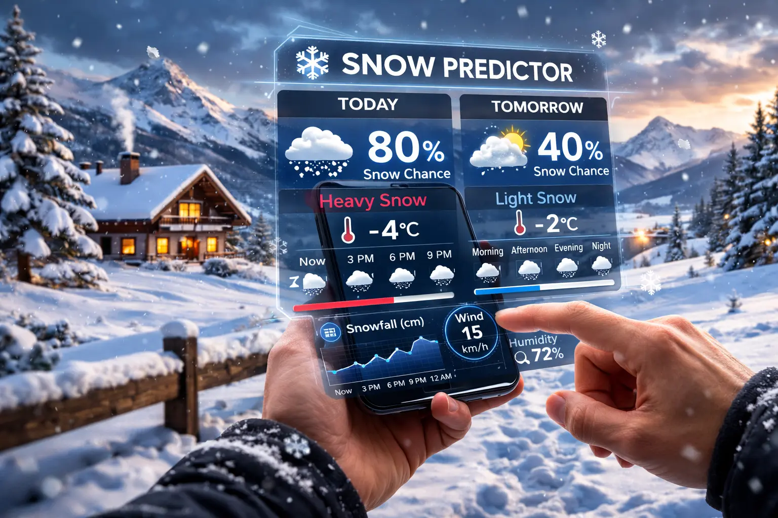
Storm systems arrive on different schedules depending on their origin and speed.
A weekly outlook is useful for general planning, but reliability drops sharply beyond three days. Each day of the week tends to carry a different forecast pattern.
Early Week Storms (Monday and Tuesday)
Large systems moving in from the central United States often give forty eight hours of advance visibility, making early week forecasts comparatively more reliable.
Midweek Clipper Systems
Fast-moving clipper systems are harder to forecast more than half a day out. Midweek predictions can shift quickly as these systems develop closer to arrival.
Friday Closure Patterns
Boards often apply extra caution on Fridays, particularly when freezing rain is possible or a weekend system could intensify conditions before Monday.
Short-term monitoring beats long-range prediction. Anything beyond a three day window should be treated as a general signal, not a firm expectation.
A probability score that reads 70 percent at 9 PM can drop to 30 percent by 5 AM. Weather models refresh every three to six hours, and several factors commonly drive this shift.
Storm Track Shift
A storm moving even slightly further north or south can move a city out of the heaviest snowfall band entirely.
Temperature Change
A rise of just one to two degrees Celsius can shift precipitation from snow to rain, reducing accumulation totals significantly.
Weakening Intensity
Snowfall rate and wind speed often decrease as a system passes, lowering both the snow and wind components of a probability score.
Because of this, a single evening check should never be treated as final. See how Ottawa’s storm systems typically evolve overnight →
Closure probability for the same snowfall amount varies by region. For a city-specific forecast, see the Barrie snow day predictor. For a city-specific forecast, see the Barrie snow day predictor. For a city-specific forecast, see the Barrie snow day predictor. For a city-specific forecast, see the Barrie snow day predictor. For a city-specific forecast, see the Barrie snow day predictor. Ontario boards place heavy weight on bus route safety, with cities such as Barrie, London, and North Bay seeing more frequent closures than downtown Toronto due to lake-effect snow exposure. Compare closure frequency across Ontario regions →
Other provinces apply different thresholds. Quebec generally tolerates higher snowfall and colder temperatures before closing schools. Alberta’s cold temperatures alone do not typically trigger closures. Atlantic provinces lean more heavily on wind-driven conditions than snowfall totals alone.
A Five-Step Checklist
Check expected snowfall between midnight and 6 AM.
Review any freezing rain warnings for your area.
Note wind advisories above 40 km/h.
Consider your school board’s historical closure pattern for similar conditions.
Re-check the forecast around 5 AM, when the most reliable update is typically posted.
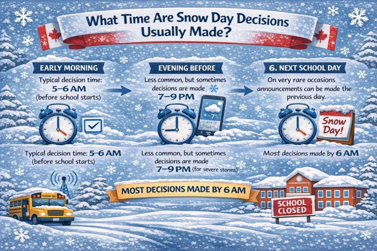
Evening forecasts are useful for planning, but the most dependable read comes between 4:30 and 6 AM, shortly before most boards finalize their decision. See app and browser options for morning alerts →
Most Ontario school boards announce closures between 5:30 AM and 6:30 AM. A forecast tool provides a probability estimate, not a confirmed decision. Always verify through your board’s official website, app, or notification system before finalizing morning plans. Compare forecast accuracy across different tools →
Usually not in urban areas. Five centimetres rarely closes city schools. Rural routes may still close if roads become icy or visibility drops, even with lower snowfall totals.
Yes. Freezing rain is often more dangerous than snowfall because it coats roads and sidewalks with ice. Even a small amount of freezing rain can raise closure probability significantly.
Weather models update every three to six hours. A storm track shift, a one to two degree temperature rise, or weakening snowfall intensity can lower a probability score between an evening check and a morning check.
Yes. Road conditions, flash freeze risk, and bus route safety often matter more than current snowfall. A storm that ends overnight can still leave roads too dangerous for buses the next morning.
Forecasts beyond three days carry significant uncertainty. The twelve to twenty four hour window before a potential closure day produces the most reliable probability.