
Ottawa Snow Day Predictor — OCDSB, OCSB, CECCE & CEPEO Closure Forecast
Ottawa gets more snow than almost any other major Canadian city, close to 235 centimetres a year. This page tracks the closure odds for Ottawa’s four school boards using live Ottawa Valley weather and each board’s own closure history, not a national average. Enter your postal code above for a building-specific score, since rural routes near Greely or Metcalfe often close before urban Ottawa does.
What Makes Ottawa’s Forecast Different From the National Tool
Our main snow day predictor explains how the scoring model works in general. This page applies that same model with one change: every threshold below comes from Ottawa’s own board records, not a countrywide blend. So does the score mean the same thing here as it does anywhere else in Canada? Not exactly. Ottawa’s boards close at different snow totals than Toronto or Barrie, because the Ottawa Valley behaves differently in a storm. That’s the whole reason this page exists as its own forecast rather than a filtered view of the national one.
Ottawa’s Four School Boards — Who Actually Makes the Call
Each board decides on its own. They watch the same storm and still don’t always agree.
Ottawa-Carleton District School Board (OCDSB)
The city’s largest English public board. Announcements usually land between 5:30 and 6:00 a.m., posted to the OCDSB website, pushed through SchoolMessenger, and read out on Newstalk 580 CFRA.
Ottawa Catholic School Board (OCSB)
OCSB tends to follow OCDSB within about fifteen to thirty minutes. The two boards share a lot of the same bus routes, which is why they align more often than not.
CECCE and CEPEO — the French Boards
CECCE and CEPEO call their own closures independently. It’s not unusual for a French board to stay open on a day the English boards close, or the other way around. If your kids attend a French school, check that board’s site directly instead of assuming it matches OCDSB.
Why Ottawa Closes More Often Than Toronto
Toronto sits next to Lake Ontario, which takes the edge off winter storms. Ottawa has no equivalent body of water nearby, so Arctic air moves straight down the Ottawa Valley with nothing to slow it. Wind chill here regularly drops past minus thirty in January and February. Add in Ottawa’s rural bus routes, which take longer to clear than a compact urban grid, and the closure window stays open longer than it does in Toronto for a similar snowfall.
The Storm Systems Behind Most Ottawa Closures
Alberta Clipper
A fast-moving system out of the Prairies. It can dump ten to twenty centimetres in a few hours with almost no warning, which is exactly why clippers cause more surprise closures than any other storm type in this region.
Colorado Low
Slower and heavier. These systems can sit over the region for a full day or two and drop more than thirty centimetres. Multi-day Ottawa closures almost always trace back to a Colorado Low.
St. Lawrence Snowband
Moisture off the St. Lawrence meets cold air and produces a narrow, intense band of snow, usually hitting Orleans and Cumberland harder than the rest of the city. Two neighbourhoods twenty minutes apart can see very different totals from the same system.
Freezing Rain
Ottawa’s most disruptive event isn’t always the biggest snowfall. A few millimetres of ice can shut down all four boards faster than twenty centimetres of snow, since ice takes far longer to clear off roads and sidewalks than snow does.
What Actually Triggers a Closure Call in Ottawa
These figures come from OCDSB’s own closure pattern, not a generic national threshold:
- 15–20 cm overnight — the single most common trigger on its own
- Wind chill below −30°C at 6 a.m. — raises closure odds even with no fresh snow
- Any freezing rain overnight — treated as high-risk regardless of snowfall totals
- Snow arriving between midnight and 6 a.m. — crews get less time to treat routes before the 6:30 a.m. bus window
Rural routes near Greely, Richmond, and Metcalfe get assessed on their own. It’s common for those areas to lose bus service on a morning when urban schools stay fully open.
How to Read Ottawa’s Score
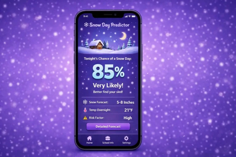
Enter your postal code, not just “Ottawa,” since rural and urban routes clear at different speeds. Check the evening before a storm, then check again around 5:30 a.m. once overnight totals are in — that second check is almost always more accurate than the night-before read. A score under 30% means a closure is unlikely. Above 80%, conditions closely match past days that actually closed.
When Ottawa Sees the Most Closures
January and February carry the heaviest closure risk, driven mostly by Alberta Clippers. December often brings the season’s first big snowfall before road crews are fully into their winter rhythm. By March, the risk shifts toward freezing rain as warmer air starts pushing over still-frozen ground.
Ottawa Snow Day Predictor Frequently Asked Questions
Do all four Ottawa boards close together?
Not always. OCDSB and OCSB usually align since they share routes. CECCE and CEPEO decide independently and sometimes split from the English boards entirely.
When does OCDSB usually announce a closure?
Between 5:30 and 6:00 a.m., through the OCDSB website, SchoolMessenger alerts, and 580 CFRA. OCSB typically follows within half an hour.
Why does Ottawa close more than Toronto?
Ottawa averages roughly 235 cm of snow a year against Toronto’s 115 cm, and has no lake nearby to soften Arctic air the way Lake Ontario does for Toronto.
What’s an Alberta Clipper, and why does it matter here?
A fast Prairie storm that can bring ten to twenty centimetres in a few hours with limited lead time — Ottawa’s most common cause of a same-morning closure decision.
Do rural Ottawa routes close separately from the city?
Yes. Areas like Greely, Richmond, and Metcalfe are assessed on their own bus-route conditions and can lose service on days when urban schools stay open.
For the mechanics behind the score itself — how live weather and closure history turn into a single percentage — see our full explanation of how the forecast is calculated, or read how Canadian school boards decide on closures in general. This tool is a planning estimate. OCDSB, OCSB, CECCE, and CEPEO remain the only official sources — always confirm with your board before changing your morning plans.